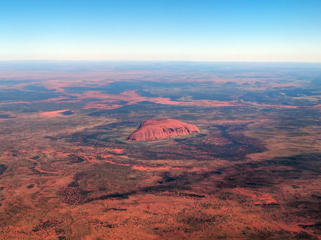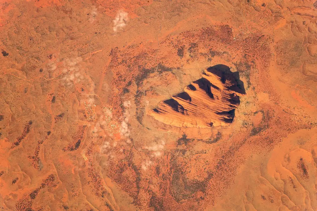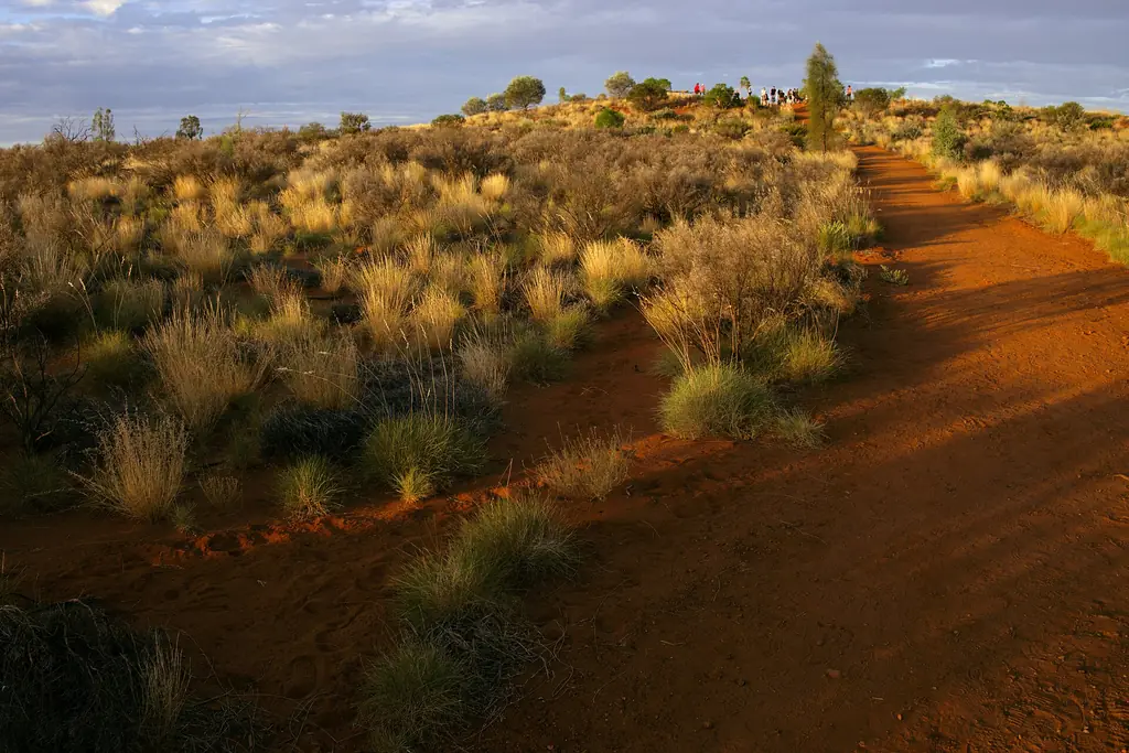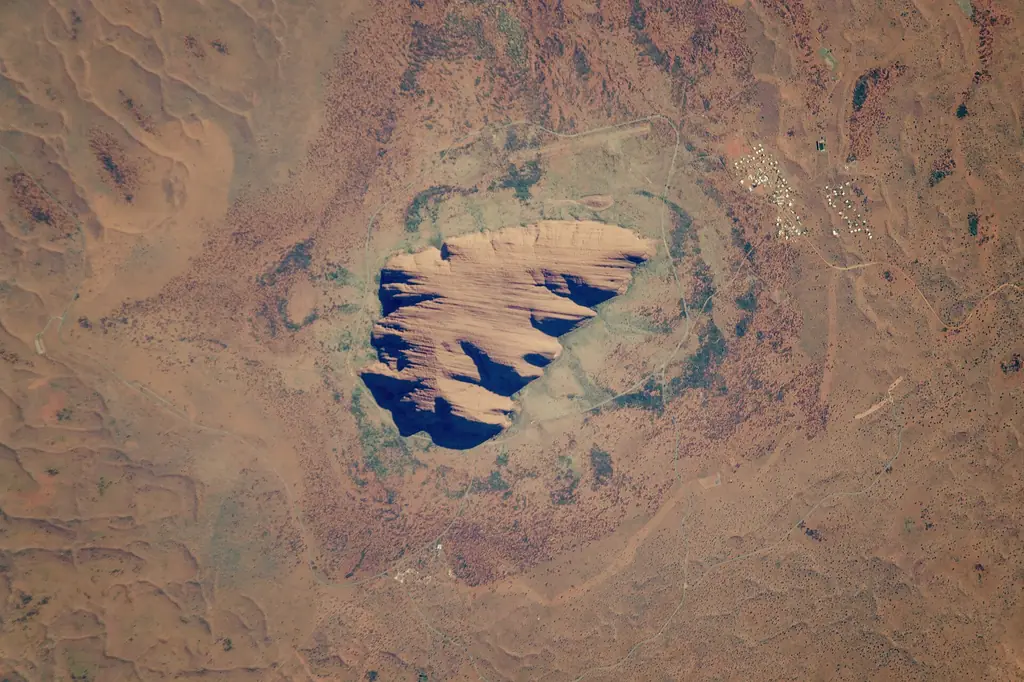
Uluru stands in Uluṟu-Kata Tjuṯa National Park in the south-west of the Northern Territory, close to the geographic centre of Australia. The nearest town is Yulara (Ayers Rock Resort), just outside the park.
Distances
| From | Approx. distance | Typical way |
|---|---|---|
| Yulara | ~20 km | Drive or tour |
| Alice Springs | ~450 km by road | 4.5–5 h drive or day tour |
| Kings Canyon | ~300 km by road | 3–3.5 h drive |
| Darwin | ~1,950 km by road | Fly |
| Sydney, Melbourne, Brisbane | Long-haul | Fly to Ayers Rock Airport |
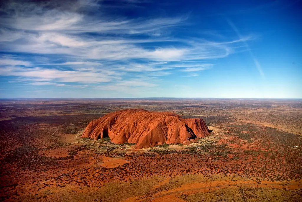
How to get there
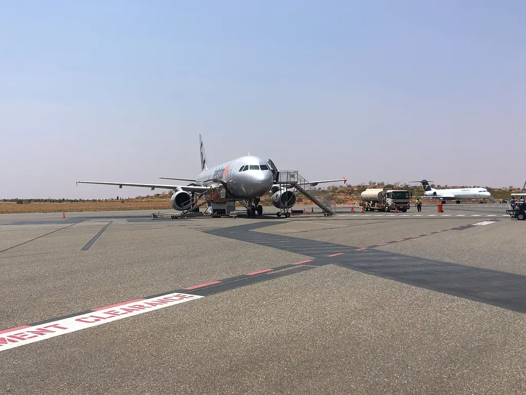
- Fly direct to Ayers Rock Airport from several capitals.
- Fly to Alice Springs and drive or take a tour — see Alice Springs to Uluru.
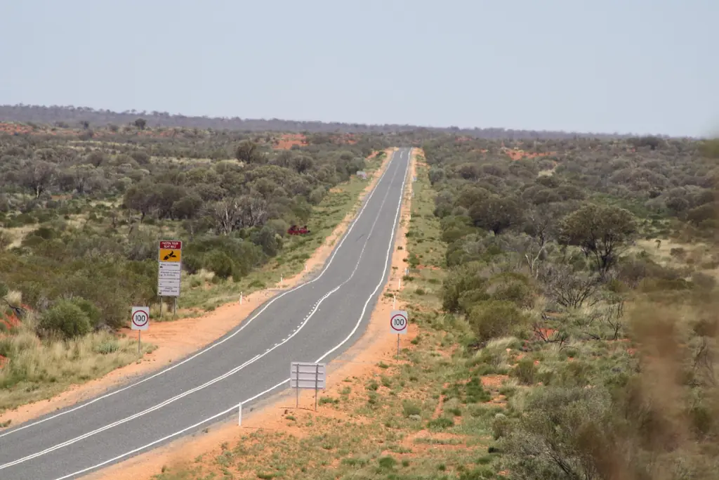
- Drive the Stuart and Lasseter highways as part of a road trip.
See getting to Uluru and our map page.
Frequently asked questions
What state is Uluru in?
The Northern Territory.
How far is Uluru from Alice Springs?
About 450 km by road, a drive of around 4.5–5 hours.
What is the closest town to Uluru?
Yulara, home of Ayers Rock Resort, about 20 km away.
Is Uluru in the middle of Australia?
It is close to the geographic centre, in the southern Northern Territory.
How far is Uluru from Darwin?
Roughly 1,950 km by road; most people fly.