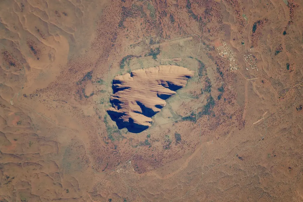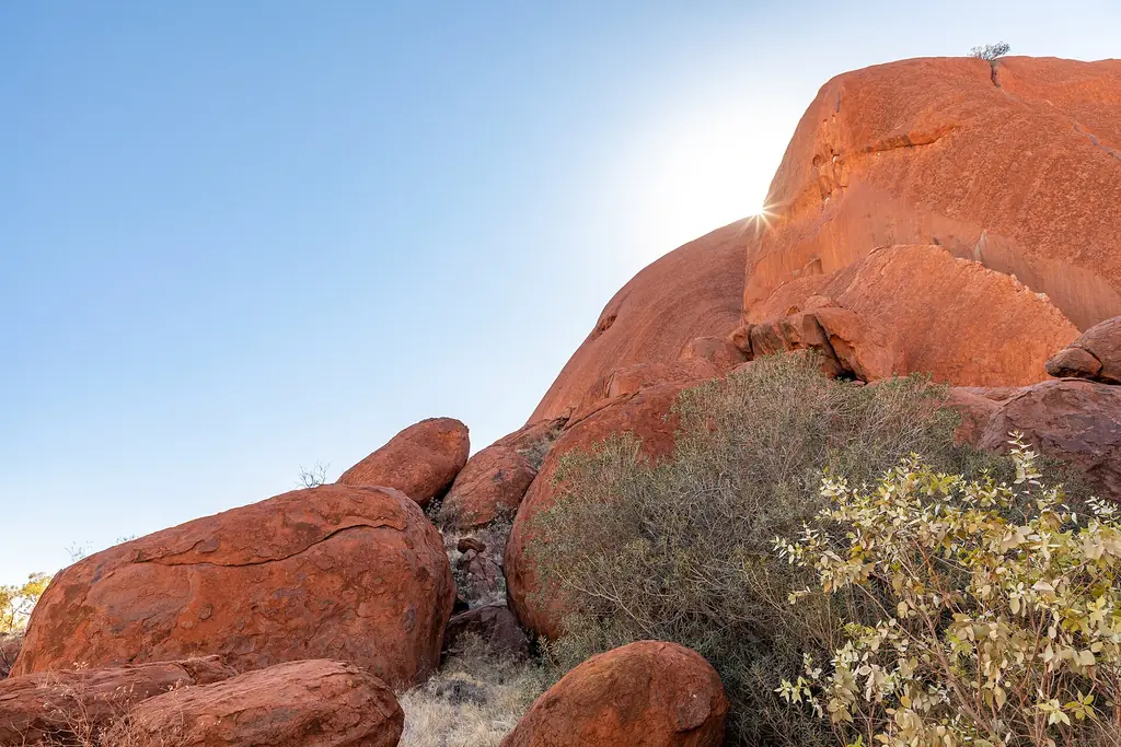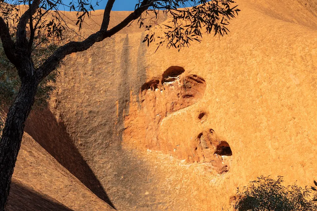
Uluru at a glance
| Fact | Detail |
|---|---|
| Height above the plain | About 348 m |
| Elevation (summit) | About 863 m above sea level |
| Circumference | About 9.4 km |
| Base walk length | About 10.6 km |
| Rock type | Arkose sandstone |
| Age of sediments | About 550 million years |
| Traditional Owners | Anangu |
| Handback to Anangu | 26 October 1985 |
| World Heritage | Listed for natural (1987) and cultural (1994) values |
| Climbing | Permanently closed from 26 October 2019 |
Names
Uluru is the Anangu name. The English name Ayers Rock dates from 1873. The official name is now Uluru / Ayers Rock, and the national park is Uluṟu-Kata Tjuṯa National Park.
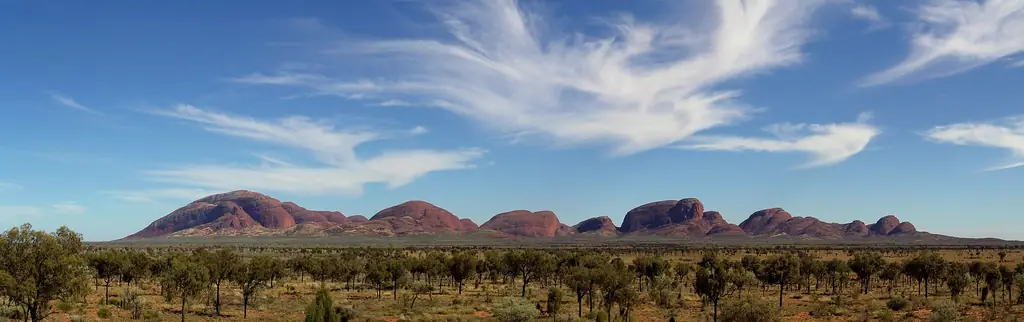
Kata Tjuta facts
Kata Tjuta is a group of 36 domes about 50 km west of Yulara. Its tallest dome, Mount Olga, rises higher than Uluru. See Kata Tjuta.
Joint management
The park is jointly managed by Anangu and Parks Australia. Visitors need a park pass, and some sacred sites must not be photographed.
Frequently asked questions
How tall is Uluru?
About 348 m above the surrounding plain.
How big is Uluru around?
About 9.4 km in circumference.
Can you still climb Uluru?
No. The climb closed permanently on 26 October 2019.
Is Kata Tjuta taller than Uluru?
Yes, its highest dome, Mount Olga, is taller than Uluru.