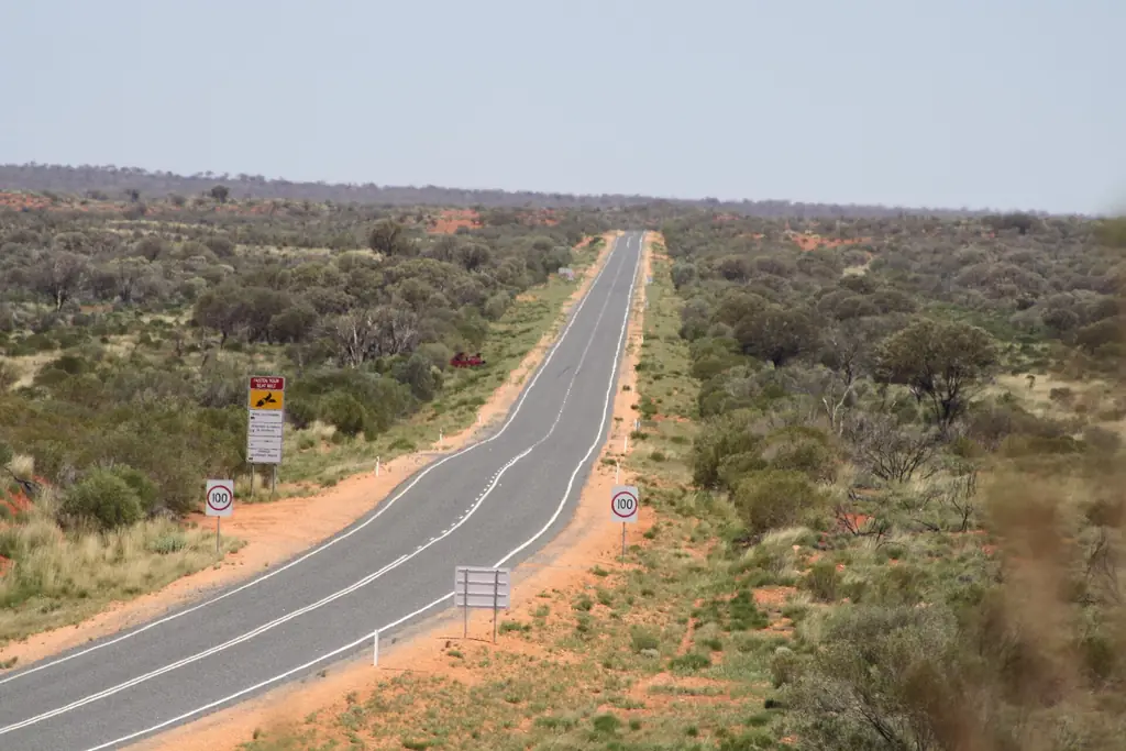
It is about 450 km from Alice Springs to Yulara by sealed road. Without long stops the drive takes around 5 hours.
The route
- Head south from Alice Springs on the Stuart Highway for about 200 km to Erldunda Roadhouse.
- Turn west onto the Lasseter Highway for about 245 km to Yulara.
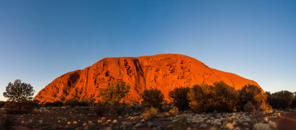
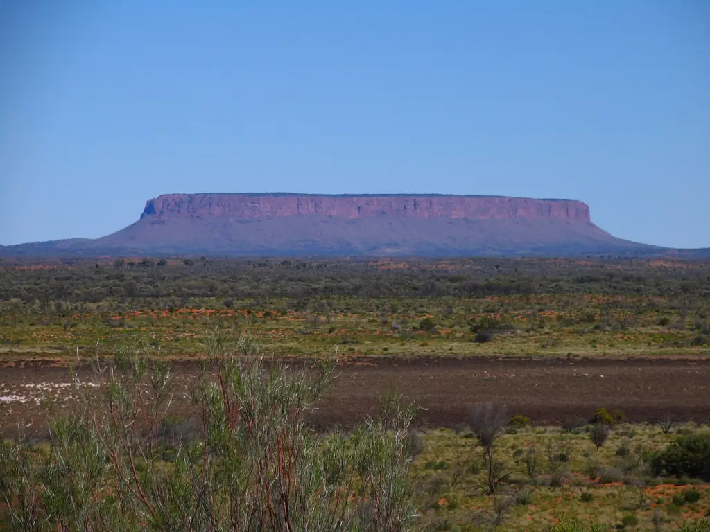
- Stop at the Mount Conner lookout, where a flat-topped mesa often fools visitors into thinking they have reached Uluṟu.
- Curtin Springs, a cattle station roadhouse, is about 80 km before Yulara.
Via Kings Canyon
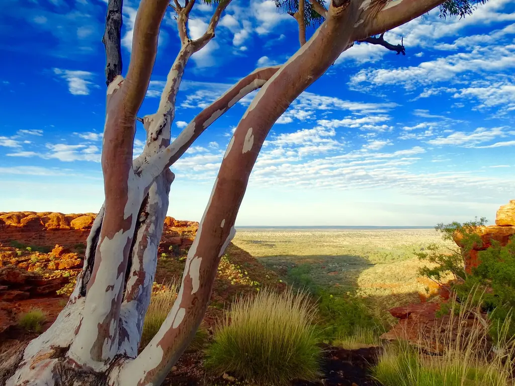
Many travellers take a longer loop via Kings Canyon (Watarrka National Park). Note that the Mereenie Loop route requires a permit and has unsealed sections — check conditions and hire-car rules first. See Kings Canyon from Uluru.
Without a car
- Coach transfers run between Alice Springs and Yulara.
- Multi-day tours typically combine Uluṟu, Kata Tjuṯa and Kings Canyon over 3 days.
- Same-day tours exist (above), but it is a very long day.
Day trip or overnight?
A day trip means roughly 900 km on the road and very little time at the rock. We recommend at least one night at Yulara, ideally two.
Frequently asked questions
How long is the drive from Alice Springs to Uluru?
About 5 hours for roughly 450 km on sealed roads, plus stops.
Is an Uluru day trip from Alice Springs worth it?
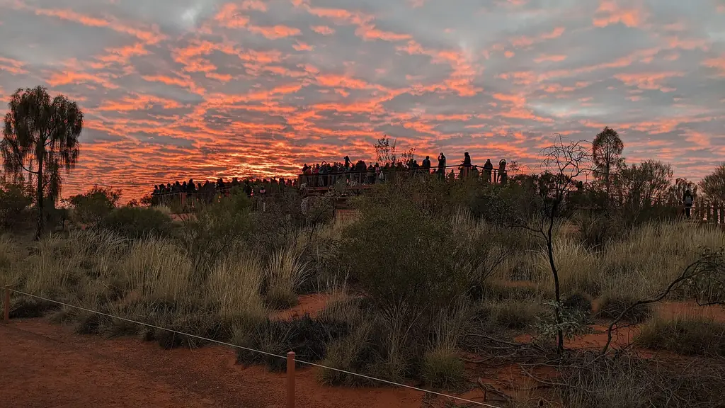
Only if you truly have no other option. Staying overnight lets you see sunrise and sunset and do the walks properly.