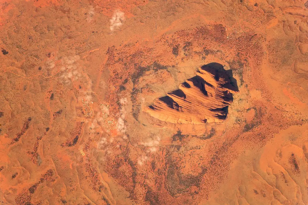
Key locations
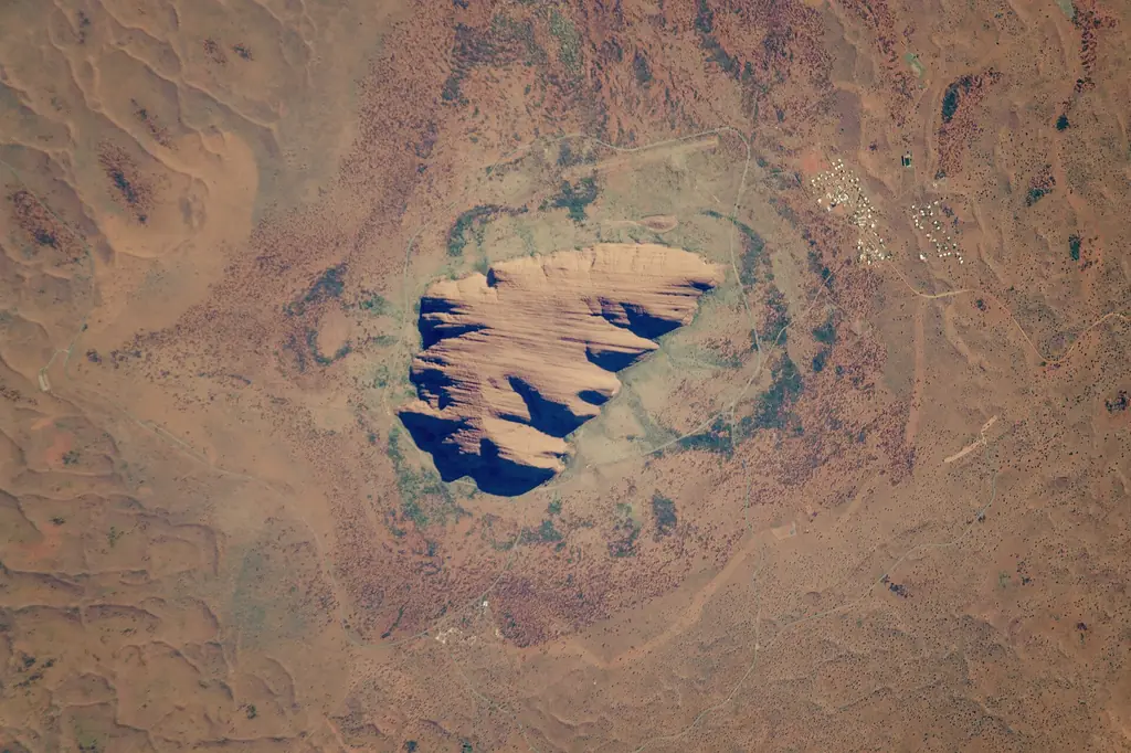
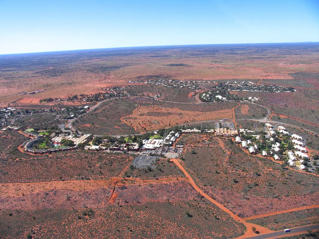
- Yulara (Ayers Rock Resort) — all accommodation, shops and the airport, outside the park.
- Park entry station — between Yulara and Uluru; show your pass.
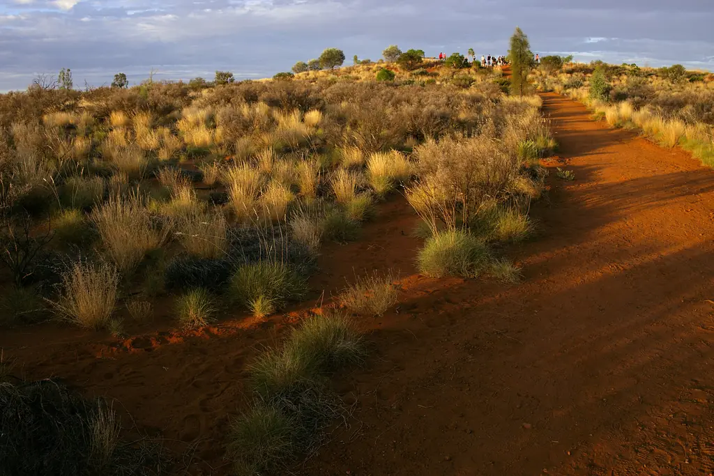
- Talinguru Nyakunytjaku — the main sunrise viewing area, with views of both Uluru and Kata Tjuta.
- Car sunset viewing area — on the western side of Uluru.
- Cultural Centre — near the base of Uluru.
- Mala and Kuniya car parks — starting points for base walks.
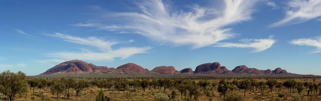
- Kata Tjuta — 50 km west of Yulara, with the Kata Tjuta dune viewing area, Walpa Gorge and Valley of the Winds.
Driving times
| From | To | Approx. time |
|---|---|---|
| Yulara | Uluru (Cultural Centre) | 20 min |
| Yulara | Kata Tjuta | 40–50 min |
| Uluru | Kata Tjuta | 45–50 min |
| Yulara | Talinguru Nyakunytjaku | 30 min |
Park opening hours vary by month — check before planning sunrise.
Inside the park
The ring road around Uluru links the Mala and Kuniya car parks, the Cultural Centre and viewing areas. Kata Tjuta is reached by a separate sealed road branching west. There are no shops or fuel inside the park, so stock up in Yulara.
Walking tracks
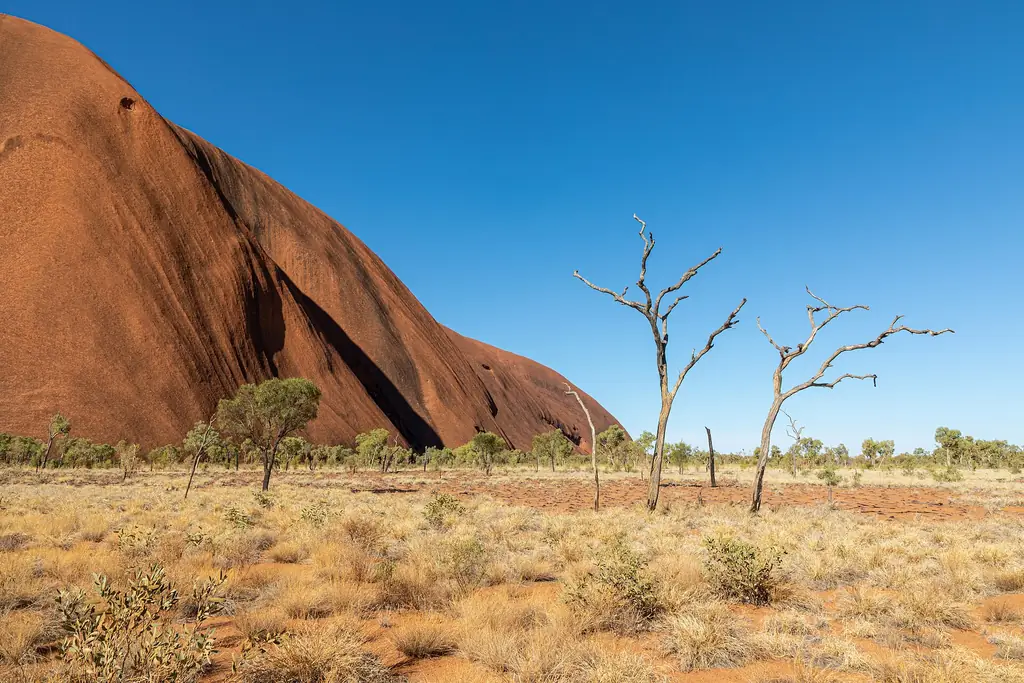
The 10.6 km base walk circles Uluru; shorter sections include the Mala Walk and Kuniya Walk. At Kata Tjuta, Walpa Gorge is short and easy while Valley of the Winds is longer and rockier. Some tracks close on very hot days.
Maps to carry
Parks Australia provides a visitor guide with a park map at the entry station and online. Mobile coverage is limited outside Yulara.
Frequently asked questions
How far is Kata Tjuta from Uluru?
About 50 km by road, roughly 45–50 minutes.
Where is the best place to watch sunrise at Uluru?
Talinguru Nyakunytjaku, the main sunrise viewing area.
Is Yulara inside the national park?
No, it is just outside the park boundary.